|
|
Competition areas
Competition areas
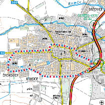
A Prostějov - Sprint Qualification
B Olomouc - Sprint Final
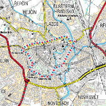
C Olomouc - Svatý Kopeček - Sprint reserve
D Sovinecko - Long Qualification
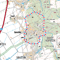
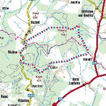
E Rýmařov - Middle Qualification, Middle Final, Middle reserve
F Konice - Long Final, Relay
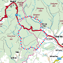
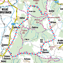
G Libavá - Long reserve, Relay reserve 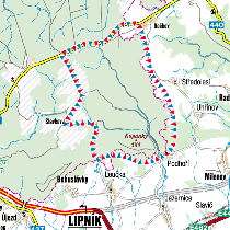
Terrain Description
|
Sprint Distance
Qualification
|
Terrain form
|
City terrain
located 225 mts above sea level
Very flat with almost no climbing
|
|
Vegetation
|
The competition zone
comprises 3 different areas:
living
suburbs constructed in 1970´s, occasional vegetation
features like bushes, flower beds and individual trees
city park
with open areas, thickets and outstanding trees
city centre with a minimum of vegetation
features
|
|
Runnability
|
Very good
|
|
Visibility
|
Mostly very good, reduced in some densely planted
parts of city parks
|
|
Paths and roads
|
Mostly paved or asphalted roads and streets, some
unpaved paths in city parks
|
|
|
Sprint Distance Final
|
Terrain form
|
City terrain
located 220-250 mts above sea level
Generally flat with climbing up to 30 mts
|
|
Vegetation
|
The competition zone
comprises 2 different areas:
city park with a
lot of detailed vegetation (flower beds, thickets, fences) and
artificial features (statues, monuments, banks) crossed by a deep
water course
historic city centre comprising a
combination of narrow streets, squares, passages and
fortification walls, with minimum of vegetation features
|
|
Runnability
|
Very good
|
|
Visibility
|
Mostly very good, reduced in some densely planted
parts of city parks
|
|
Paths and roads
|
Mostly paved or asphalted roads and streets, some
unpaved paths in city parks
|
|
|
Middle Distance
Qualification and Final
|
Terrain form
|
Mountain terrain
located 750-850 mts above sea level
Generally flat with climbing up to 30 mts
|
|
Vegetation
|
Mostly mountain spruce forest, in some parts quite
humid including extensive runnable marshes, in some parts multiple
rock and stone elements including little “rock town”
|
|
Runnability
|
Ranging from very good to very difficult
|
|
Visibility
|
Mostly good
|
|
Paths and roads
|
Limited network of forest paths and road
|
|
|
Long Distance
Qualification
|
Terrain form
|
Terrain located
500-700 mts above sea level
Mountain-like terrain with a very deep
valleys in Western part with climbing up to 100 mts, occasional
stones or human-made terrain elements in the valley slopes,
Eastern part is generally flat, partly humid
|
|
Vegetation
|
Spruce or deciduous mixed forest, lot of
vegetation features like rootstocks, outstanding trees and
clearings
|
|
Runnability
|
Mostly good with undergrowth in some parts
|
|
Visibility
|
Mostly good
|
|
Paths and roads
|
Average network of forest paths and road
|
|
|
Long Distance Final and
Relay
|
Terrain form
|
Terrain located
440-640 mts above sea level
Typical Centro-European terrain, variety of
terrain elements, a lot of deep valleys and erosion gullies, in
some parts steep slopes with stony ground, occasional stone
elements
|
|
Vegetation
|
Deciduous mixed forest, lot of vegetation
features like rootstocks, outstanding trees and clearings
|
|
Runnability
|
Mostly good, difficult in steep slopes areas, some
undergrowth around open clearing areas
|
|
Visibility
|
Mostly good
|
|
Paths and roads
|
Average network of forest paths and road
|
|
|
Title sponsor


Government partners


Organisers


|


